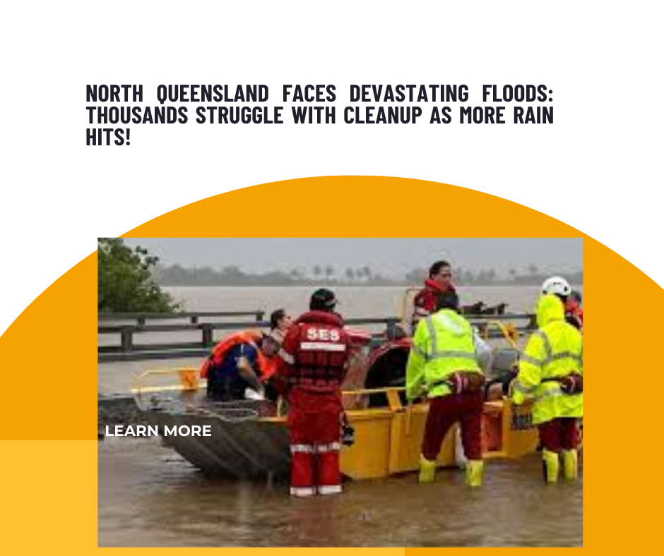
Thousands of residents in flood-affected North Queensland are facing a challenging clean-up of their homes and businesses, with more rainfall expected to disrupt their recovery efforts. Some parts of the region have already experienced up to 400mm of rain over the weekend, and additional heavy rainfall is predicted for tonight and tomorrow.
As floodwaters begin to recede, residents are dealing with widespread mould growth, while streets are filled with ruined furniture and personal belongings. In several areas, power outages have lasted for 10 days, and hundreds of roads remain impassable.
A severe weather warning for heavy rain, possible flash flooding, and localised intense rainfall is in effect from Innisfail to the Gulf Country, southern Peninsula, Northern Goldfields, and Upper Flinders.
“The heavy rainfall has diminished along the Queensland coast but is expected to pick up again tonight, with rain becoming more widespread into Tuesday,” said meteorologist Sarah Scully from the Bureau of Meteorology. “Additionally, high tides in the Gulf Coast and Torres Straits may cause minor flooding in low-lying areas. Conditions remain highly dynamic, with already saturated grounds and swollen river systems that will respond quickly to additional rainfall. It’s important to stay informed as the situation develops.”
Moderate to major flood warnings are in effect for areas along the North Tropical Queensland coast, including the Herbert, Burdekin, Cape, and Flinders rivers. The region has already recorded a historic rainfall total of 1033mm in just the first week of February.